The Best Irvine Neighborhood for You: A Data-Driven Lifestyle Guide
By Sean Hingco, Founder, Saktoo
Irvine is less a city than a filter. We scored all 23 neighborhoods (villages) on official boundaries and matched them to the lifestyles they actually fit.
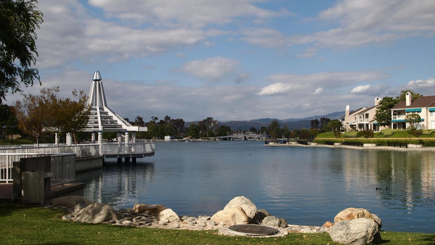
Every list of America's most livable cities has Irvine near the top, and every one of those lists answers the wrong question. "Is Irvine a good place to live?" has no answer. "Is Irvine a good place for you to live, and in which of its villages?" does, and it's answerable with data. Irvine is less a city than a filter: for some renters it's close to ideal, for others a genuine mismatch, in ways a listing photo won't show.
So this guide works differently. Irvine calls its neighborhoods villages, a naming quirk from its master-planned history, but they're the same thing anyone comparing neighborhoods in Irvine is looking for. We took the City of Irvine's official planning-area boundaries, curated them into 23 renter-relevant villages, and scored every one: EPA Smart Location Database walkability, CalEnviroScreen air and traffic data, Census rent and income, and amenity counts down to the grocery store. Then we matched the results to the kinds of people who actually move here. By the numbers, Irvine earns parts of its reputation outright, coasts on other parts, and hides real weaknesses under the citywide averages. All three are below.
Irvine villages scored
23
Every renter-relevant village, on official city boundaries: EPA walkability, CalEnviroScreen air and traffic, Census rent and income, and amenity counts.
How a Cattle Ranch Became 23 Villages
You can't separate Irvine's data from its history. The city sits on the old Irvine Ranch, 93,000 acres assembled in the 1860s, roughly a fifth of Orange County. In 1959, the University of California asked the Irvine Company for land for a new campus, and architect William Pereira drew up something grander: a master-planned "city of intellect" radiating outward from the university in self-contained villages, each with its own housing, retail node, schools, and parks. The first village opened in 1966. The city incorporated in 1971. The Irvine Company has been building villages to the plan ever since, and it still owns a large share of the city's apartment stock.
That continuity is why village-level data works so well here. In organic cities, neighborhoods drift. They gentrify, decline, densify. Irvine's villages were each built in one push, to one design philosophy, and then held in place by the plan and the HOA. A village's walkability, its distance from the freeways, its housing mix: these were decisions, made in a specific decade, and the decade shows. Scroll through sixty years of them.
Six decades of master planning, one village per era. Establishment years from the Irvine Company's own villages guide; stats from EPA Smart Location Database, CalEnviroScreen, and Census data aggregated to city planning-area boundaries.
Is Irvine Walkable? The Blunt Answer, Village by Village
Start with the number that matters: the median Irvine village scores 13.0 on the EPA's 1-to-20 National Walkability Index, and exactly one village of the 23, Walnut at 15.7, crosses into the EPA's top "most walkable" band. Irvine is a car city with a few walkable pockets, and the pockets are narrow.
Calibration matters here, because the same numbers read differently depending on what you compare them to. Against other American suburbs, Irvine is genuinely good: 18 of its 23 villages score in the EPA's above-average band, a bar most postwar suburbs never touch, and the greenbelt-and-trail network behind those scores is real. Against actual urban walkability, it's car country. And against the European and East Asian cities that define walkable urbanism globally, nothing in Irvine is on the same axis. The fair summary: Irvine walks unusually well for a place built around the car. It does not walk like a city.
The EPA index also flatters Irvine in a specific way that's worth understanding. It measures street design: intersection density, network connectivity, land-use mix. On street design alone, Walnut's 15.7 is statistically identical to Koreatown's 15.6 in our data. But street design only tells you whether you can walk, not whether there's anywhere to walk to. Walnut contains 15 restaurants and 3 grocery stores; Koreatown packs 47 restaurants and 16 cafes into a comparable footprint. The score is the same; what's within walking distance is not.
And most villages don't clear even the first bar. Nine of the 23, including Turtle Rock, Portola Springs, and Cypress Village north of the freeway, contain zero grocery stores inside their boundaries. Six contain zero restaurants. In two-fifths of Irvine's villages, the answer to "what can I walk to?" is: another cul-de-sac. Genuinely car-light living exists in exactly three places. The blocks around UCI and University Town Center, the Woodbridge village core, and the Business Complex around Diamond Jamboree. Everywhere else, budget for the car: transit tops out at 0.4 on our 0-to-1 measure, and the bus network thins fast outside the UCI and Business Complex corridors.
villages with zero grocery stores
9 of 23
Two-fifths of Irvine's villages contain no grocery store inside their boundaries. Street design is only half of walkability; the other half is having somewhere to walk.
For calibration on the urban end: in our ranking of LA's most walkable neighborhoods, every neighborhood in the top ten out-delivers Irvine's best on destination density, most of them severalfold. If walking to dinner is the life you want, Irvine offers three pockets of it. If it's merely a nice-to-have, the village choice below matters more than the city-level verdict.
Air and Traffic: The Trade the Brochure Skips
Irvine's environmental data splits the city in two, and the split runs along the freeway lattice. CalEnviroScreen, California's statewide screening index, scores every area's pollution exposure as a percentile of the state. The hillside and deep-interior villages post numbers that rival coastal enclaves: Shady Canyon sits at the 11th percentile for diesel particulate matter, Turtle Rock at the 17th, Woodbury's traffic exposure at the 29th. The flats near the 5 and 405 tell the opposite story. Walnut reaches the 69th percentile on diesel PM and the 85th on traffic, and the Business Complex hits the 76th on diesel PM: top-quartile exposure statewide, the band linked to elevated long-term respiratory risk.
The two lists are essentially the same list, inverted. The five most walkable villages all sit near or above the state median for diesel PM (48th to 69th percentile), and the four cleanest-air villages are all among the five least walkable. In Irvine, walkability and clean air rarely come together, and the comparison table below shows how few villages escape the trade. The closest thing to an exception is Woodbury: mid-pack walkability, clean-ish air (36th percentile), lowest traffic in the city. You pay for the exception at $3,384 a month.
Keep the citywide context in view, though, because this is one of Irvine's honest strengths. In our LA data, Chinatown averages the 94th percentile for diesel PM, Sawtelle the 88th, Koreatown the 73rd. Irvine's single worst reading, the Business Complex at 76th, roughly matches Koreatown, and every other Irvine village beats it. Irvine's hills have cleaner air than any of LA's walkable neighborhoods, at any rent. If air quality ranks high on your list, Irvine as a whole is a strong answer, and its hills are an exceptional one.
percentile, diesel PM: Shady Canyon vs the Business Complex
11th vs 76th
Cleaner air than 89% of California in the hills; top-quartile exposure by the airport. Same city, four miles apart.
Rent: High Sticker, Inverted Burden
Irvine rent is high relative to the OC average; the safety-and-schools premium is real and priced in. Village median rents (Census ACS, all unit sizes) run from about $2,393 near UCI to $3,494 in Turtle Ridge. Current asking rents land higher, with one-bedrooms around $2,700 to $2,900 and family condos and townhomes commonly $3,000 to $4,500. But the sticker price inverts once you divide by what households in each village actually earn.
The most expensive villages carry the lightest loads. Turtle Ridge, with the city's highest rent, ties Woodbridge for its lowest burden at 22.8% of local median income. Meanwhile the cheap-looking villages strain hardest: Rancho San Joaquin has Irvine's second-cheapest rent and its heaviest burden at 40%, apartment-heavy Oak Creek runs 38%, and the UCI area 32.5%. The cheapest listing and the most affordable village are not the same thing; in Irvine they're close to opposites. One more line item: HOA-maintained communities are the norm in all 23 villages, and landlords price the fees in, which is part of why Irvine stock rarely goes cheap even when it goes old.
Every Irvine Village, Compared
The full table, ranked by EPA walkability. Diesel PM and traffic are CalEnviroScreen percentiles across all of California; lower is better. Rent is the village median from Census ACS data, and burden is that rent against the village's own median household income.
| EPA Walk (1–20) | Diesel PM pctl | Traffic pctl | Median rent | Rent burden | |
|---|---|---|---|---|---|
| Walnut | 15.7 | 69 | 85 | $3,015 | 26.1% |
| Oak Creek | 15.0 | 52 | 70 | $2,850 | 38.1% |
| El Camino Real | 14.7 | 57 | 77 | $2,964 | 26.2% |
| UCI Area | 14.6 | 48 | 64 | $2,393 | 32.5% |
| Cypress Village | 14.6 | 65 | 72 | $3,129 | 33.3% |
| Irvine Spectrum District | 13.9 | 61 | 75 | $2,854 | 35.7% |
| Westpark | 13.9 | 66 | 66 | $2,728 | 25.9% |
| Irvine Business Complex | 13.7 | 76 | 72 | $2,711 | 32.4% |
| Great Park Neighborhoods | 13.3 | 56 | 54 | $2,822 | 26.4% |
| Woodbury | 13.1 | 36 | 29 | $3,384 | 31.4% |
| Northwood | 13.1 | 45 | 44 | $3,055 | 23.8% |
| Woodbridge | 13.0 | 42 | 60 | $2,781 | 22.8% |
| Rancho San Joaquin | 13.0 | 43 | 84 | $2,613 | 40.0% |
| Portola Springs | 12.8 | 44 | 38 | $2,980 | 28.9% |
| Lower Peters Canyon | 12.4 | 44 | 56 | $2,939 | 26.6% |
| Northwood Point | 12.2 | 38 | 32 | $3,033 | 28.6% |
| University Park | 12.0 | 48 | 83 | $2,821 | 24.6% |
| Quail Hill | 11.3 | 46 | 80 | $2,930 | 28.7% |
| Orchard Hills | 10.0 | 28 | 40 | $3,180 | 23.2% |
| Laguna Altura | 9.8 | 40 | 75 | —† | —† |
| Turtle Ridge | 9.7 | 21 | 49 | $3,494 | 22.8% |
| Turtle Rock | 9.6 | 17 | 39 | $3,336 | 25.5% |
| Shady Canyon | 8.6 | 11 | 47 | $3,456 | 23.9% |
Which Irvine Village Fits Your Life
The table is the reference; this is the decision. Six renter profiles, matched to villages by the numbers, each with the honest cost attached.
You're a student, or you work at UCI
The UCI area is the obvious answer and the data confirms it: the city's cheapest rent ($2,393), top-five walkability (14.6), 32 restaurants and 3 groceries in reach, and the only truly bikeable job center in Irvine. Costs: the market turns over on the academic calendar, traffic exposure runs 64th percentile off the 405 and 73, and low student incomes mean the paper burden (32.5%) overstates comfort for anyone not on a stipend plus roommates.
You're a young professional who wants food and density
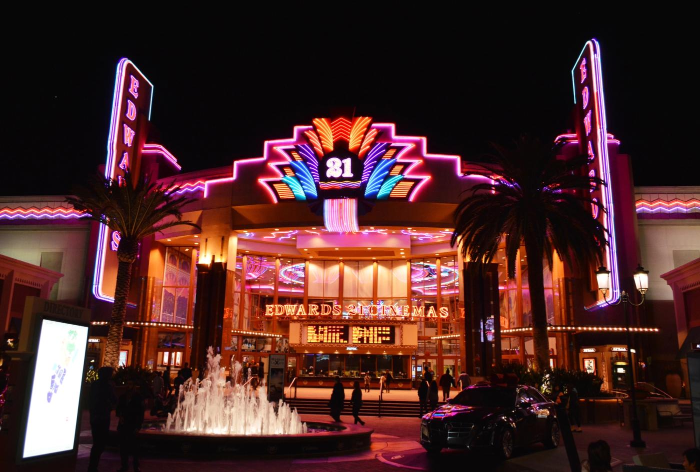
The Business Complex is Irvine's accidental downtown: 59 restaurants, the densest cluster in the city, anchored by Diamond Jamboree, under high-rise and podium apartments at the third-cheapest median rent ($2,711). The Spectrum district is its retail twin (67 restaurants, $2,854). Costs: the worst air in Irvine (76th and 61st percentile diesel PM), burdens above 32%, and John Wayne Airport's flight path for a neighbor.
You're raising kids and optimizing for schools, parks, and quiet
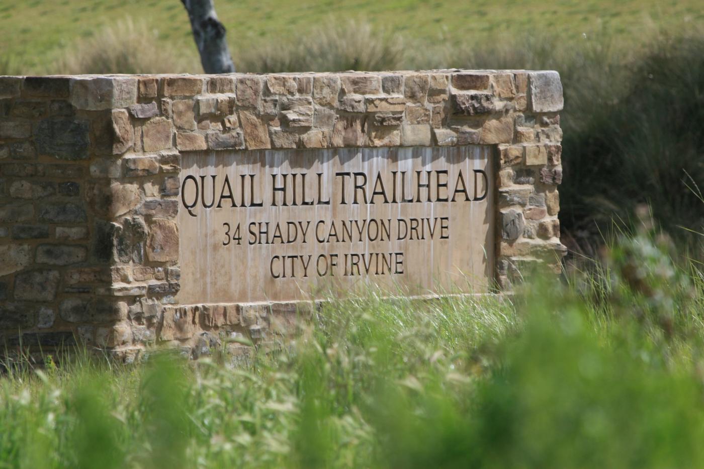
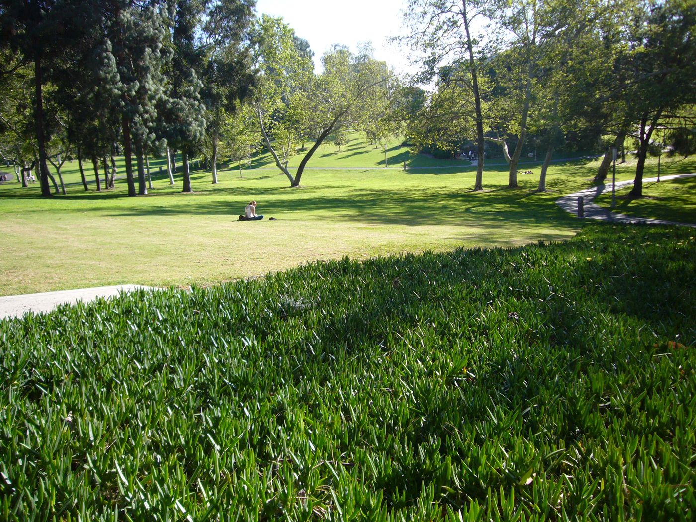
This is what Irvine was literally designed for, and three villages do it best on the numbers. Woodbury: lowest traffic exposure in the city (29th percentile) with a walkable commons, at a premium $3,384. Northwood: 44th-percentile traffic, century-old eucalyptus windrows, and a gentle 23.8% burden, the quiet bargain. Portola Springs: 38th-percentile traffic against the open-space preserve, with Stonegate and its school-centered street plan inside its boundary. Costs: all three are car-dependent for nearly everything, and Portola Springs contains zero grocery stores.
You want walkable errands at the best price
Woodbridge and the older core. The 1975 lake-and-greenbelt design still posts the city's lowest rent burden (22.8%) at its fifth-cheapest rent ($2,781), and the village center remains one of the three places in Irvine where daily errands work on foot. El Camino Real (14.7 walkability, 44 restaurants) and Westpark ($2,728) extend the same formula. Costs: 1970s and 80s apartment stock renovated to varying degrees, and diesel PM above the state median in El Camino Real and Westpark (57th and 66th percentile).
You're commuting to LA, or splitting the difference
No Irvine village makes the DTLA drive pleasant. It's roughly 40 freeway miles and 45 to 75-plus minutes at rush hour from anywhere in the city. What the village choice does control is the rail option: the Irvine Transportation Center, on the Great Park's edge, runs Metrolink's Orange County and Inland Empire–OC lines plus Amtrak's Pacific Surfliner, and it's a five-minute drive from the Great Park villages, Oak Creek, and the Spectrum district. Great Park pairs that access with new construction below the city's median rent ($2,822 at a 26.4% burden). For Newport Beach or Costa Mesa commutes, the south villages by the 73 toll road make it genuinely short.
You want clean air, space, and silence, and you like driving
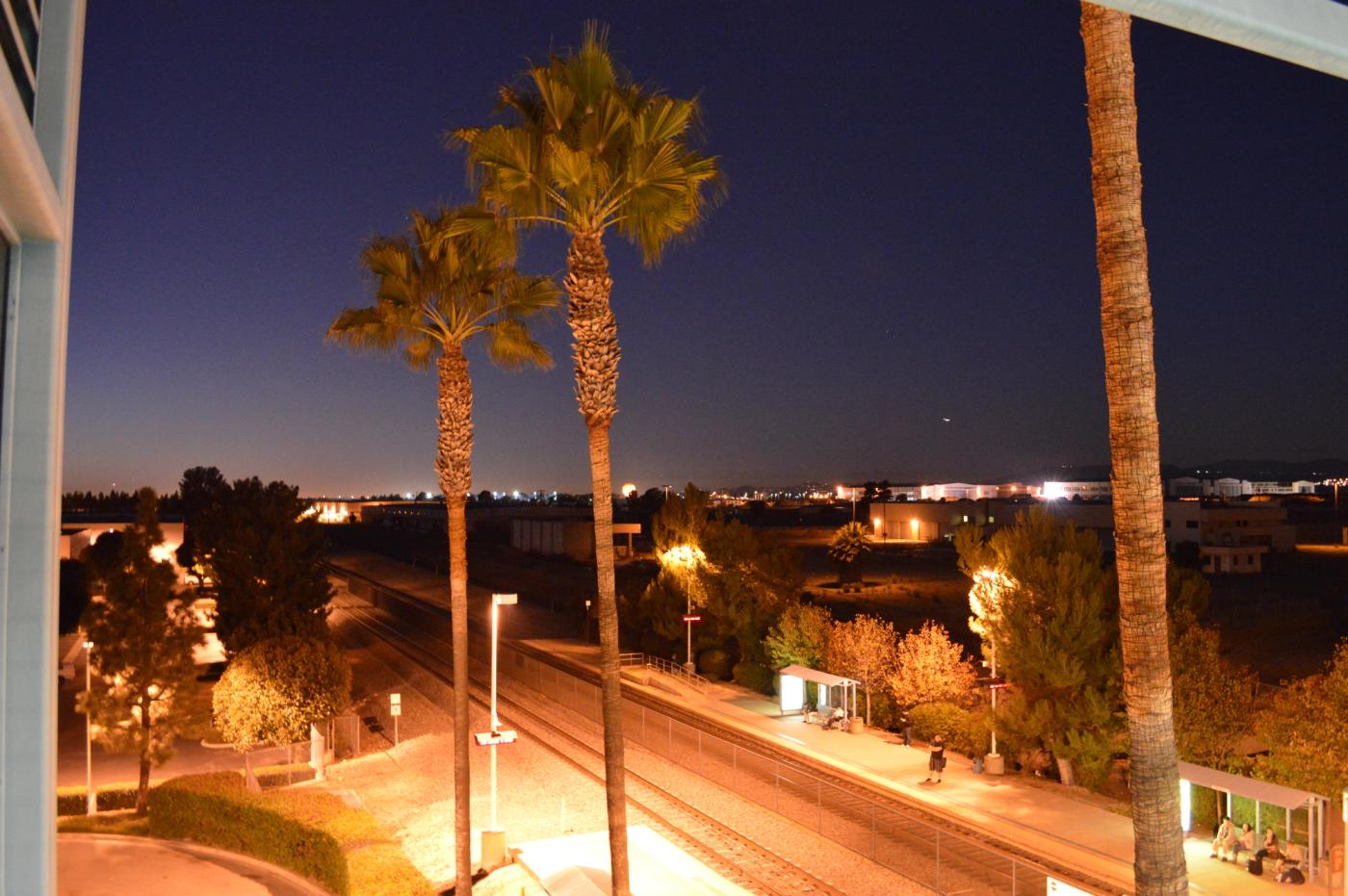
The hillside era was built for you: Shady Canyon (11th percentile diesel PM), Turtle Rock (17th), Turtle Ridge (21st), and Orchard Hills (28th) post the cleanest air in the city, the most tree canopy, and rents of $3,180 to $3,494 that local incomes carry at the city's lowest burdens. Costs: walkability of 8.6 to 10.0, the four worst scores in Irvine, and Shady Canyon and Turtle Rock don't contain a single restaurant. That's not a flaw; it's what you're buying.

Who Shouldn't Move to Irvine
The same data that matches people to villages also rules people out. Three profiles, honestly:
- You want to live car-free. Don't. Nine of 23 villages have no grocery store, transit tops out at 0.4 on our measure, and even the walkable pockets assume a car for anything beyond the daily loop. The UCI area is the single exception, and it works best if your whole life is the university.
- You want nightlife and urban texture. Irvine's restaurant clusters are real, but they're built around dinner, not night, and the village system produces architectural sameness on purpose. If accumulated character is the point, this is the wrong city by design, not by accident.
- Your income doesn't clear the premium. Irvine's burden math only looks gentle because local incomes are high. At Orange County's median household income (about $110,000) rather than Turtle Ridge's, the village median rents consume 26 to 38% of gross pay, and the "cheap" villages (Rancho San Joaquin at 40% local burden, Oak Creek at 38%) show what that strain looks like from inside.
None of this is a knock on Irvine; it's just not the right fit for everyone. If any of those three described you, our LA walkability ranking is probably a better place to start. And for the renters Irvine does fit, what the master plan delivers is real and rare. FBI crime data has put Irvine's violent-crime rate at or near the lowest of any large American city for most of two decades. Its school system and park access are consistent across all 23 villages in a way almost no organically grown city matches, and its hills have some of the cleanest air of any urban location in Southern California. Those aren't marketing claims; they're the parts of the brochure the data actually supports. The rent premium is their price.
How to Actually Choose
Six decades of planning left 23 villages that genuinely differ on walkability, air, rent burden, commute geometry, and space, and no village wins more than two of the five. The right trade depends on your income, your commute, and what you refuse to give up. The quiz below weights those dimensions to your situation and shows which Irvine villages, and which LA and OC neighborhoods, actually fit.
Sean Hingco, Founder, Saktoo
Sean Hingco built and maintains Saktoo, which scores 7,644 neighborhoods across Los Angeles and Orange County on census, school, crime and environmental data. He writes the methodology behind every ranking here and publishes the underlying figures so they can be checked.
More about the person behind Saktoo →